About The Mozino Forest
The Mozino Forest is a valuable resource
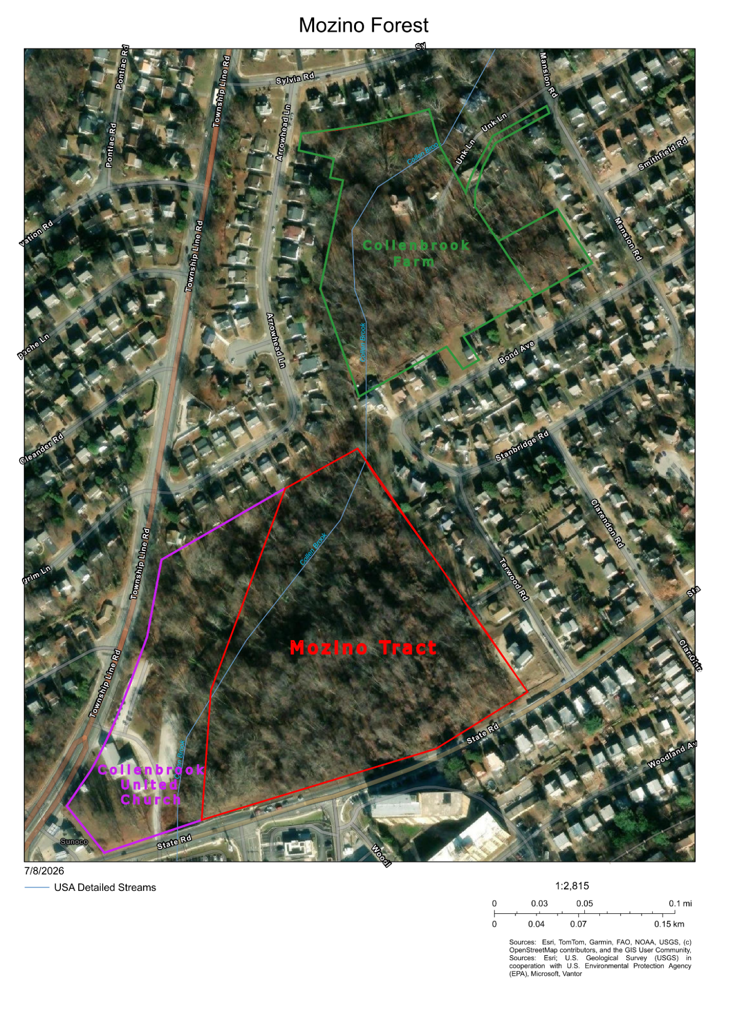
The Mozino Forest is 15 acres of mixed deciduous forest located between Township Line Road and State Road, across from the Drexel Line Shopping Center in the Drexel Hill Section of Upper Darby Township.
The site was once part of the historic Collenbrook Farm before being subdivided and purchased by Mr. Mozino in 1960 who let the land revert back to forest. Today it is the largest piece of privately owned forest in Upper Darby Township and one of the last pieces of continuous forest in a township that devotes only 6% of land to open space or recreation, much lower than the 15% national average. By comparison, neighboring Philadelphia maintains about 14% of its land as open or park space.
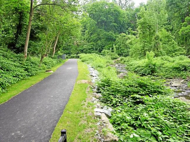
Stormwater: The Mozino Tract contains 0.23 miles of Collen Brook, a first order tributary of the Darby Creek. The trees surrounding the creek, also known as a riparian buffer, manage stormwater for the township and downstream neighbors. Current canopy cover provides an 80% reduction in stormwater runoff compared to a medium intensity development during a rain event totalling 10 cm of precipitation over a 24 hour period (modelmywatershed.org).
Carbon Sequestration: Well managed old-growth forests filter air and act as carbon sinks much more efficiently than newly planted trees in an urban setting (Nature, 2008). The 65 year old forest on the Mozino tract is relatively young for a forest but is considered old for highly-developed eastern Delaware County. Permanently preserving this forest and managing it to ensure it reaches well over 100 years in age will allow Upper Darby to sequester more carbon and become a more climate resilient community.
Trail connectivity and historical significance
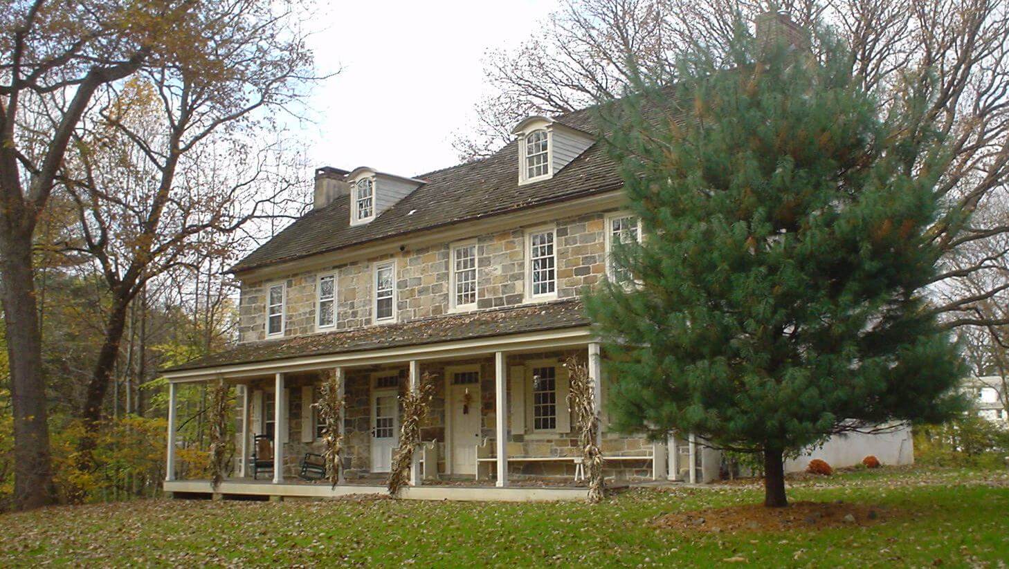
A narrow strip of woodland along the Collen Brook connects the Mozino Tract to the Collenbrook Farm - a 8.5 acre mostly-forested park owned and managed by Upper Darby Township that contains the Collenbrook Farm House, a 350 year old Penn Heritage Tree, and other structures that were added to the National Historic Register of Places in 1988.
Keeping these two parcels intact and connected will create a habitat corridor for a number of woodland dwelling species. A trail through the Mozino Tract could connect Collenbrook Farm to the Darby Creek Trail at State Road. This would further the regional goal of creating an accessible connected trail system along Darby Creek that links nearby public land like Indian Rock Park, Rolling Green Park, Gillespie Park, and Delco Woods County Park.
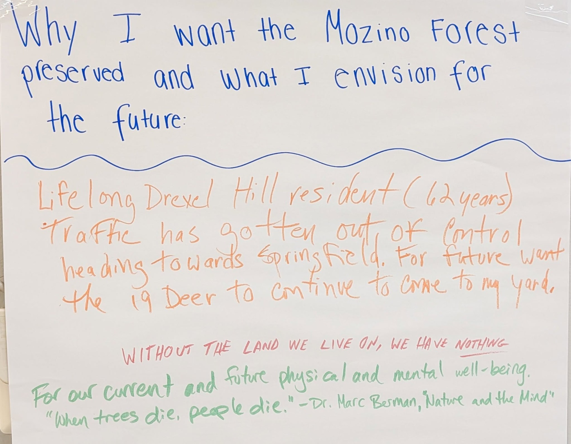
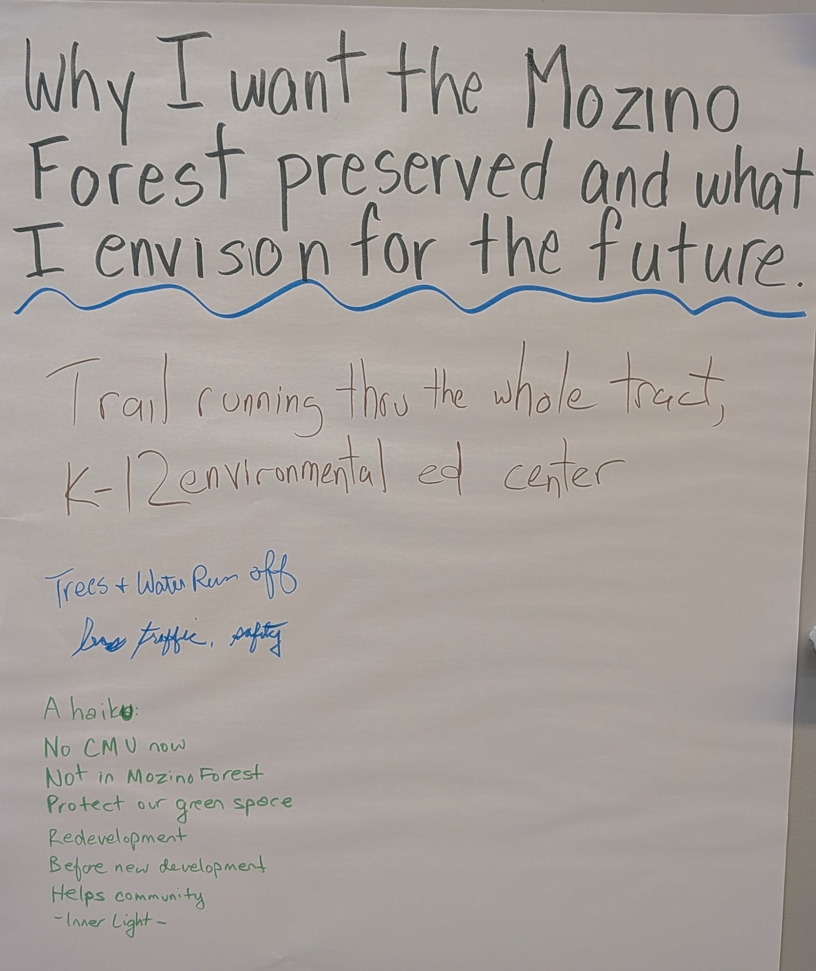
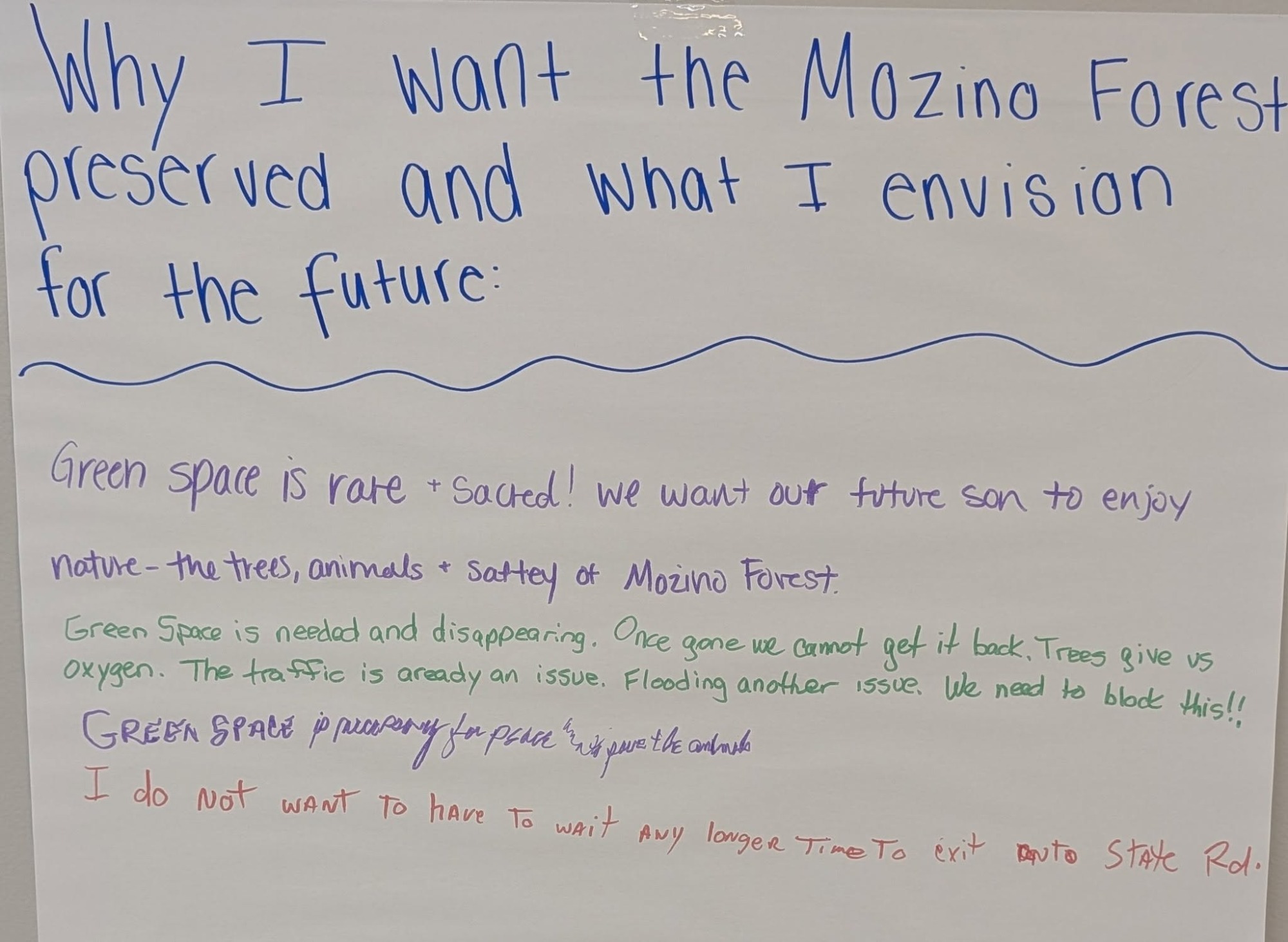
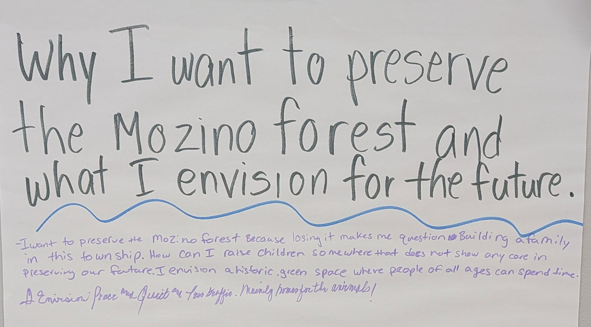
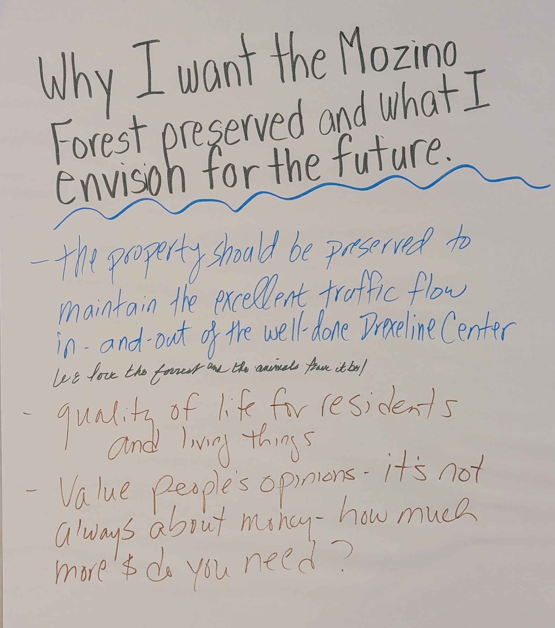
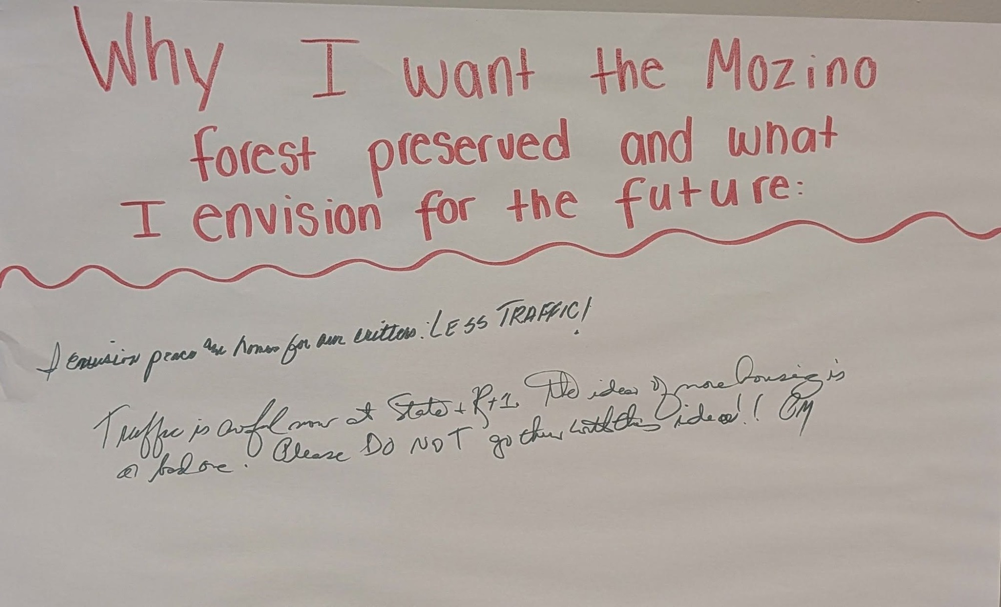
We asked people from all over Upper Darby and Delaware County why saving the Mozino Forest matters. Here's what they said:
"I grew up in that last block of Bond Avenue and pretty much lived in those woods during my elementary and junior high school years. It would be a travesty to destroy them."
~Media Resident
"UD already suffers from air quality
issues because of losing the trees behind the transportation center."
~Pastor Nate, Bywood Resident
"Honestly, it brings tears to my eyes. It reminds me of every dystopian novel I’ve ever read. It’s heartbreaking to watch wildlife be displaced and to see how much of God’s creation we’ve already destroyed."
~Stonehurst Hills Resident
"Heavy rain events lead to flooding around the gas station and Fibbers on 69th St….to do anything that would increase flooding in UD or elsewhere knowing what flooding means for communities...isn’t something that I support."
~Springfield Resident
"Saving the Mozino Forest means cleaner air: we have serious air quality issues in SE Delco, and every tree helps."
~Clifton Heights Resident
"We don’t need to jam more people in our community. We need to find ways to bring back more trees, more green space, for people to get relief from the day to day struggles."
~Bywood Resident
"Preserving it is an investment in cleaner air, healthier ecosystems, environmental education, and a legacy of stewardship that future generations deserve to inherit."
~Stonehurst Hills Resident
"I would say that the empirical loss of oxygen and gain of stormwater are changes that we do not need. Subjectively this affects my wife as an asthmatic and my town as a downstream community."
~Lansdowne Resident
"I drive by the Mozino tract at least 6 days a week. The beauty and peace of it, if it were developed, I would really feel."
~Springfield Resident